
Dong Nai
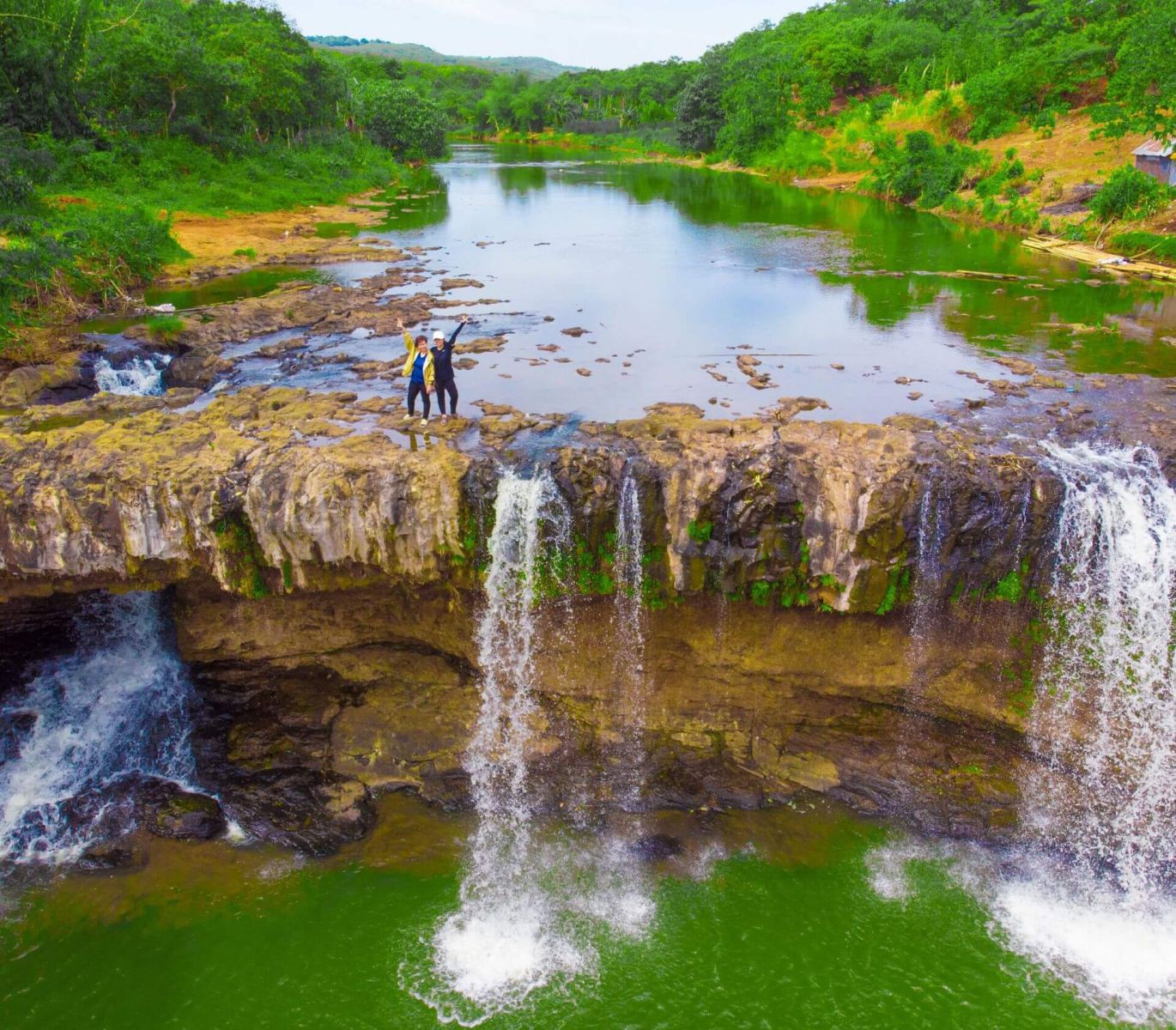
Escape into the green heart of southern Vietnam, where ancient forests, tranquil lakes, scenic mountains and distinctive local cultures create rewarding experiences beyond the busy cities.
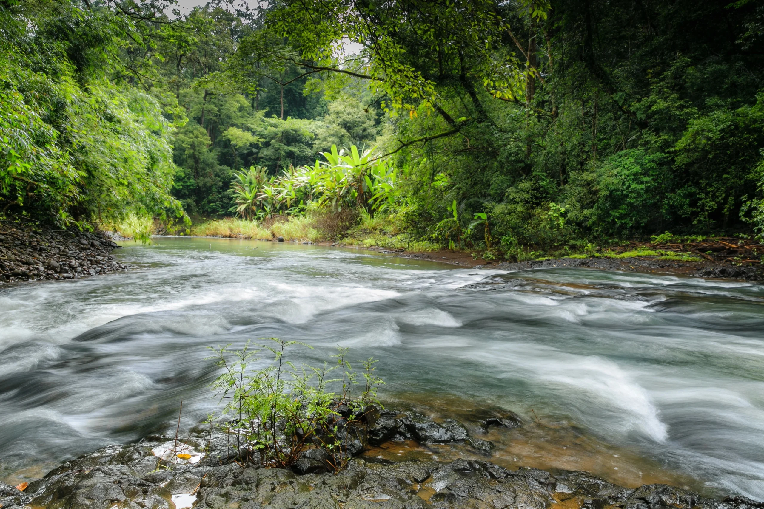
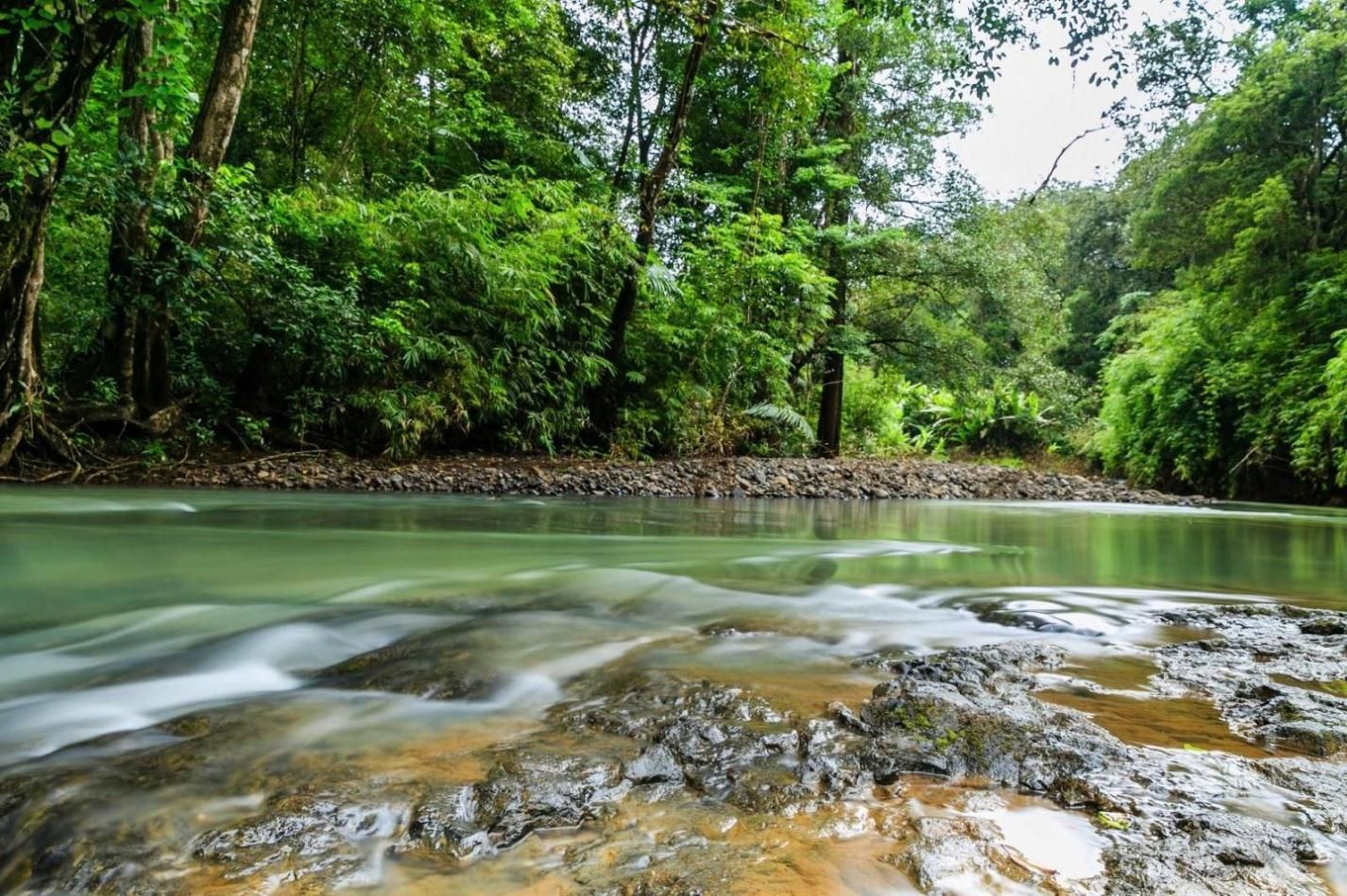
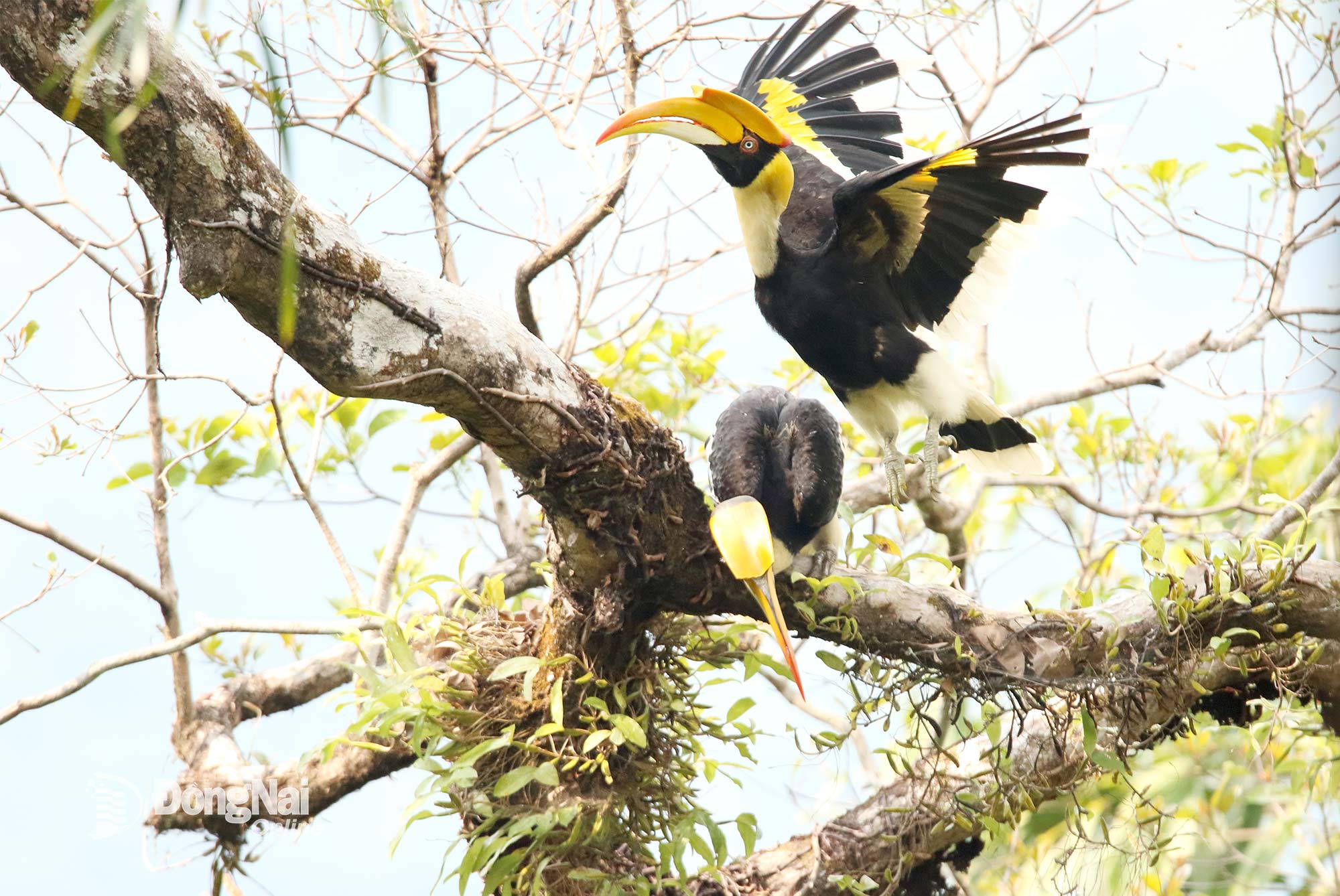
Bu Gia Map National Park is a protected natural area renowned for its evergreen forests, diverse wildlife and distinctive cultural heritage. Located near the Cambodian border, it offers rewarding experiences for adventurous travellers seeking an authentic connection with nature.
Bu Gia Map Commune, Dong Nai Province
National Park & Wildlife Conservation Area
Established as a national park in 2002
Visits and guided activities require advance planning
Pristine rainforest, forest trekking, waterfalls and streams, wildlife watching, border forest trails and S’tieng and M’nong cultural experiences
Escape into the green heart of southern Vietnam, where ancient forests, tranquil lakes, scenic mountains and distinctive local cultures create rewarding experiences beyond the busy cities.
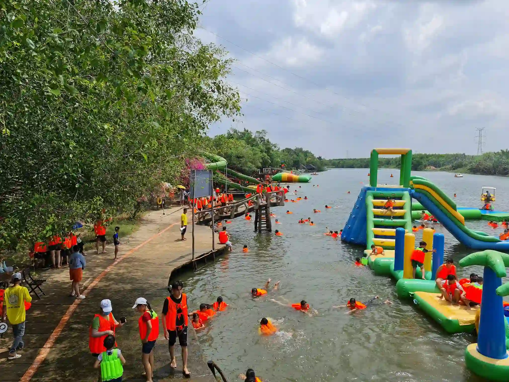
Escape to a lush riverside retreat where refreshing water activities, open green spaces and the laid-back charm of southern Vietnam create the perfect outdoor getaway.
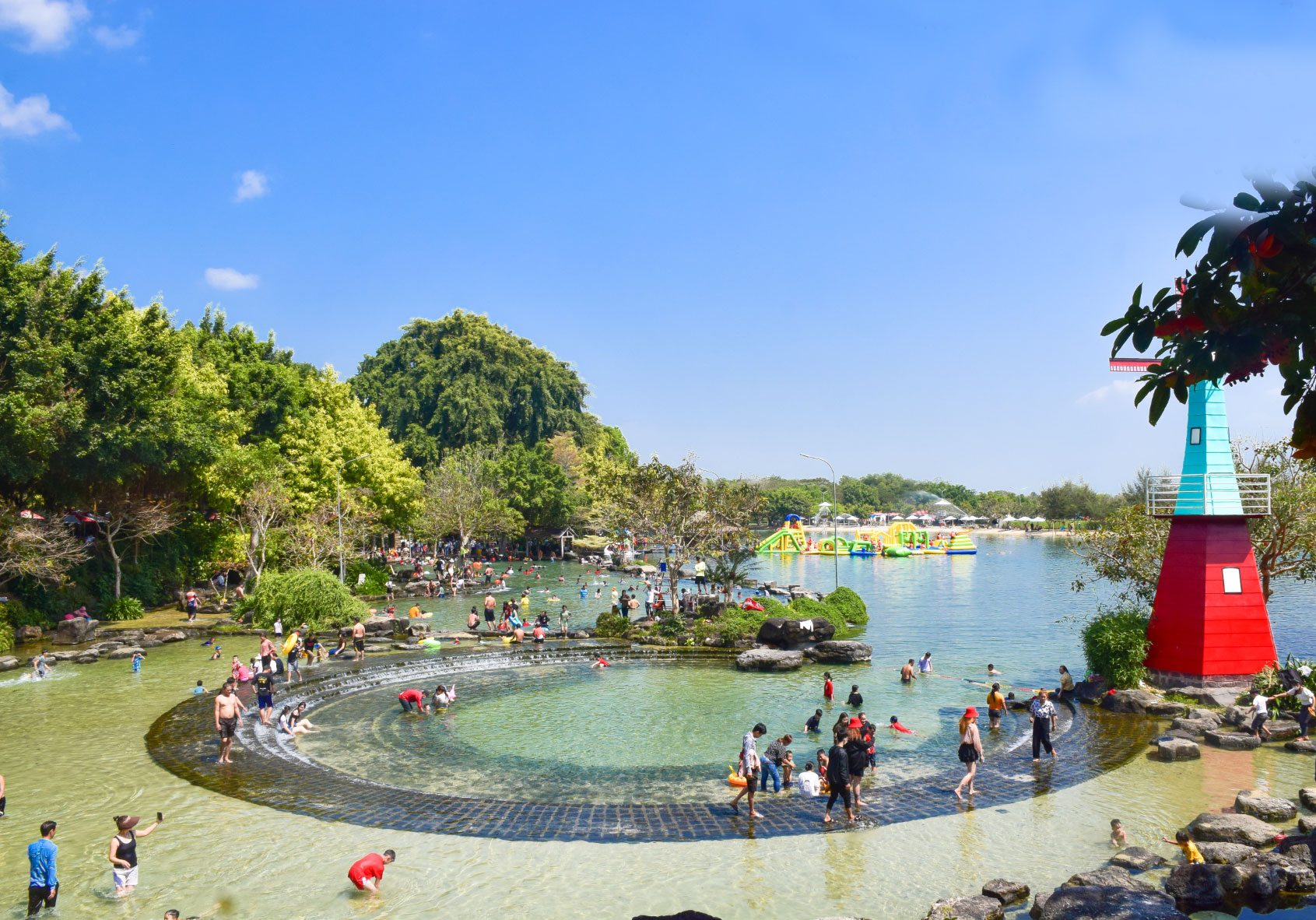
Escape to a refreshing natural retreat where crystal-clear spring water, leafy surroundings and lakeside adventures create a perfect getaway in the countryside of southern Vietnam.